Geo AI
Spatial AI platform for geoscience. Ask questions about climate, geology, and our planet.
Preview
About
Geo AI is a spatial AI platform that understands our planet. Ask natural language questions about climate, geology, and geoscience—get intelligent answers with visualizations and insights.
What is Geo AI?
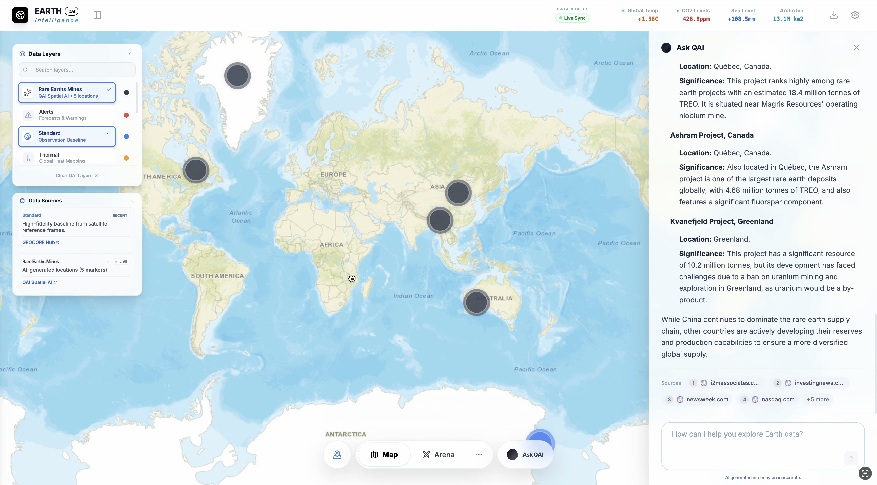
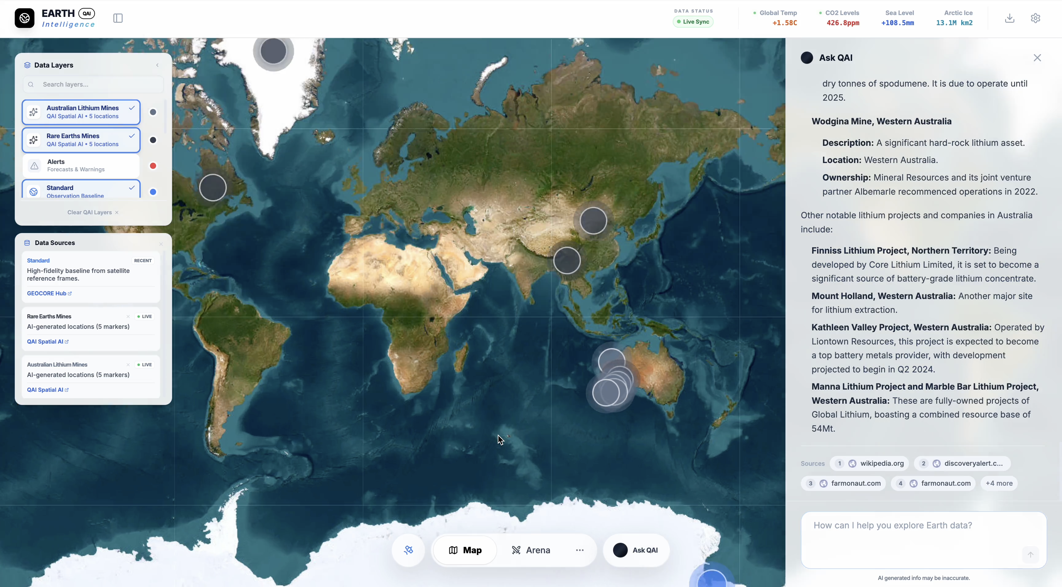
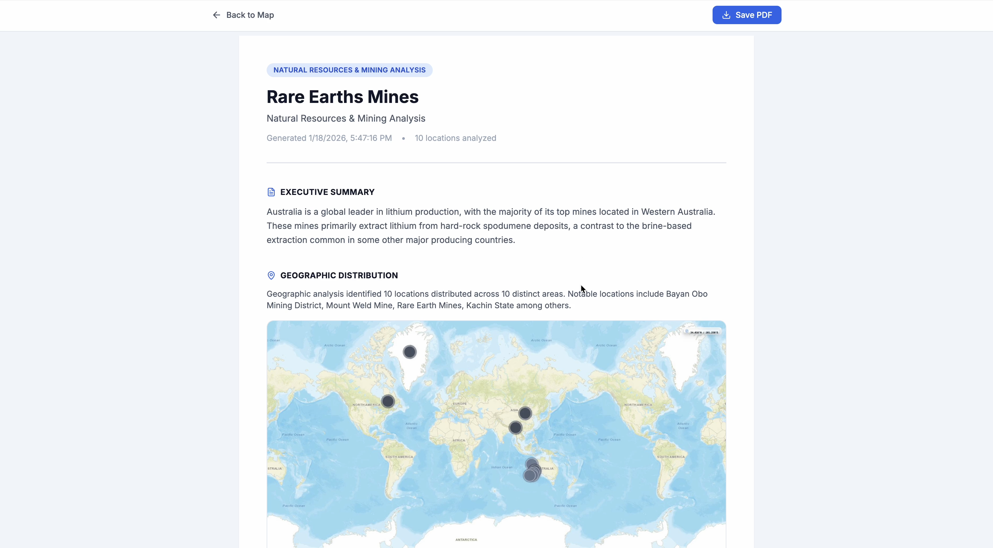
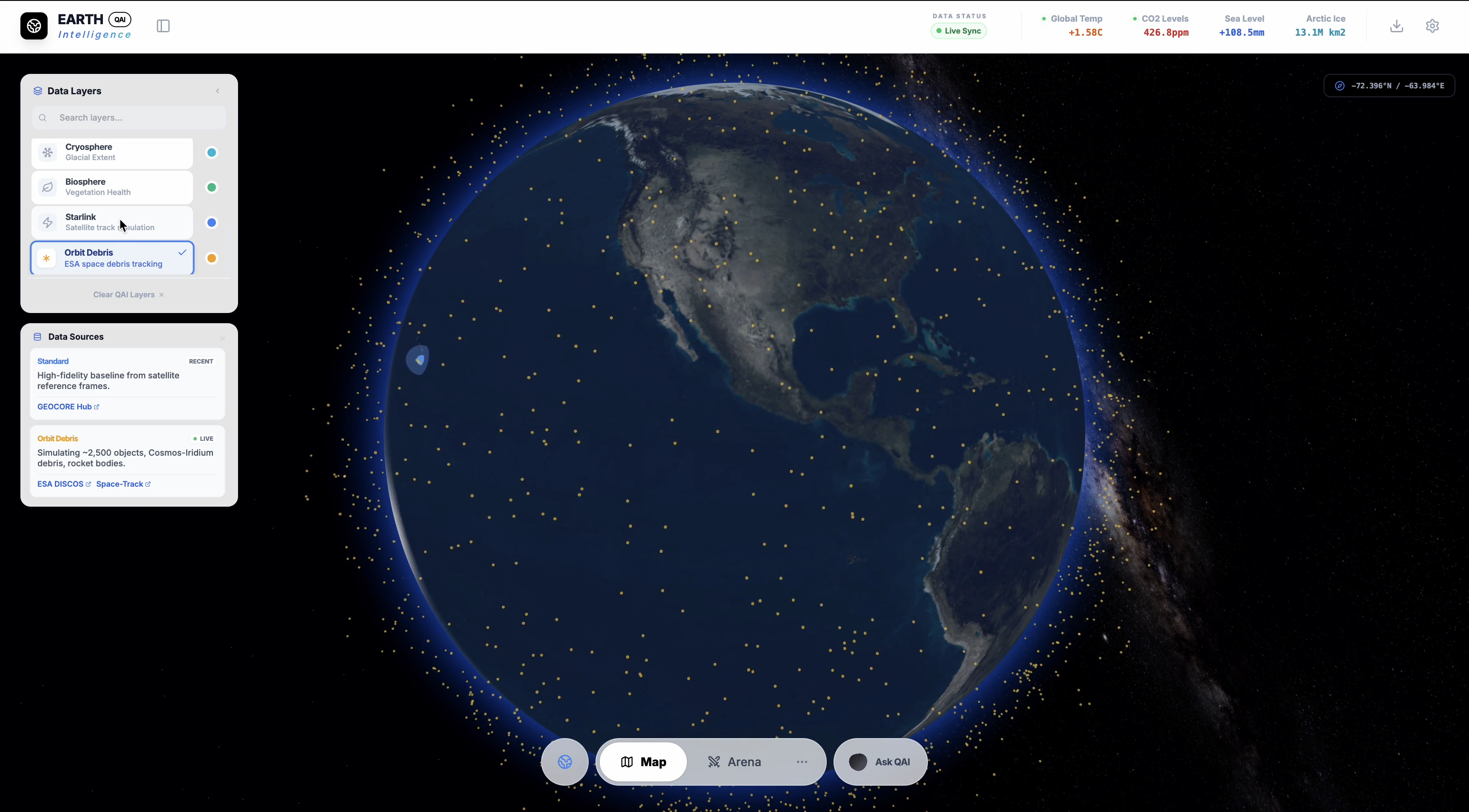
Geo AI uses spatial AI trained on geoscience to analyze satellite imagery, geospatial data, and environmental patterns. Our AI understands the relationships between geography, climate, and natural resources.
Core Capabilities:
Spatial AI that answers geoscience questions
Satellite imagery analysis and interpretation
Geospatial data visualization and mapping
Climate and environmental pattern recognition
Natural language interface for complex queries
Use Cases:
Climate research and environmental monitoring
Geological analysis and terrain mapping
Natural resource assessment
Educational exploration of geoscience
Environmental impact analysis
Who is it for?
Researchers, analysts, educators, and professionals who need intelligent insights about our planet. From academic research to industrial applications.
Enterprise Solutions:
Geo AI offers enterprise solutions for mining and climate industries. Contact us at sales@qai.io to learn more about custom deployments and API access.
Ready to get started?
Try Geo AI today and see what it can do for you.